Geo Smart Civil Fze
Stand No - Z6 H38, Za'abeel Hall 6
United Arab Emirates
Geospatial Service Provider
Based in the UAE, Geo Smart Civil provides customized geospatial and engineering solutions across the Middle East and GCC.
We specialize in trading, services, project design consultancy, and full client support. Our expert team uses the latest technologies in land & aerial surveying, photogrammetry , 3D subsurface scanning, and digital mapping to deliver precise results, ensuring accuracy, innovation, and seamless execution for projects of every scale.


| ehls2 - 3D Lidar Scanner | ||
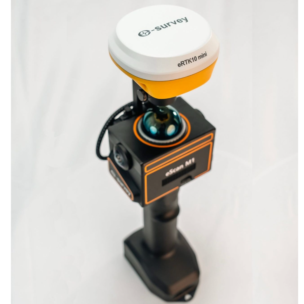
| eScan M1 handheld LiDAR scanner | ||
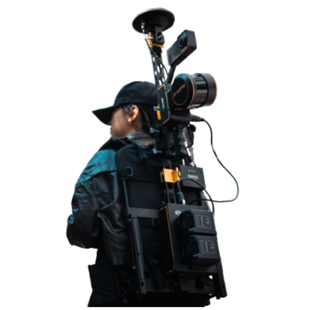
| HERON-MS-TWIN | ||
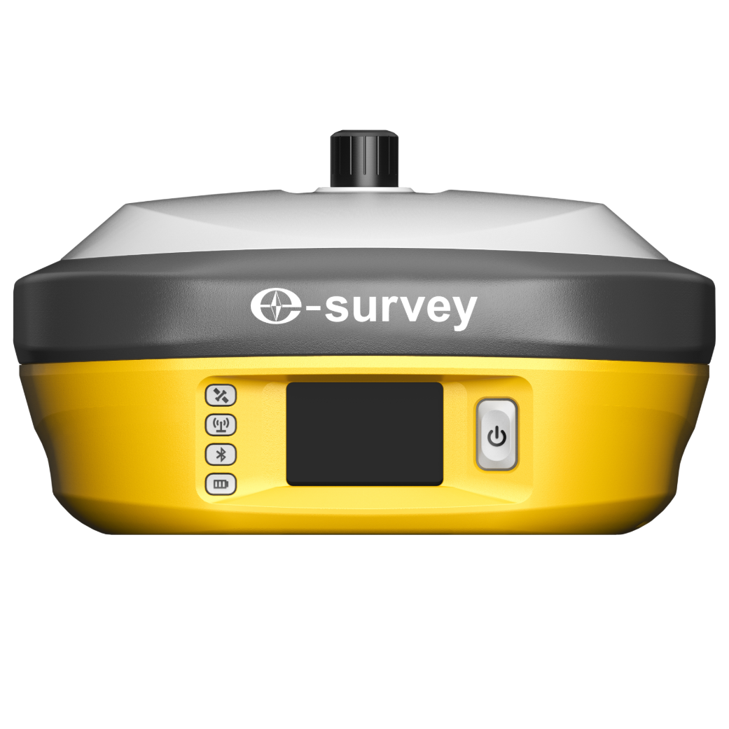
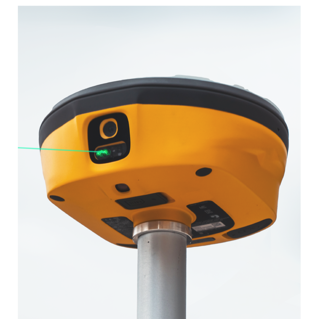
| E800 GNSS Receiver | ||
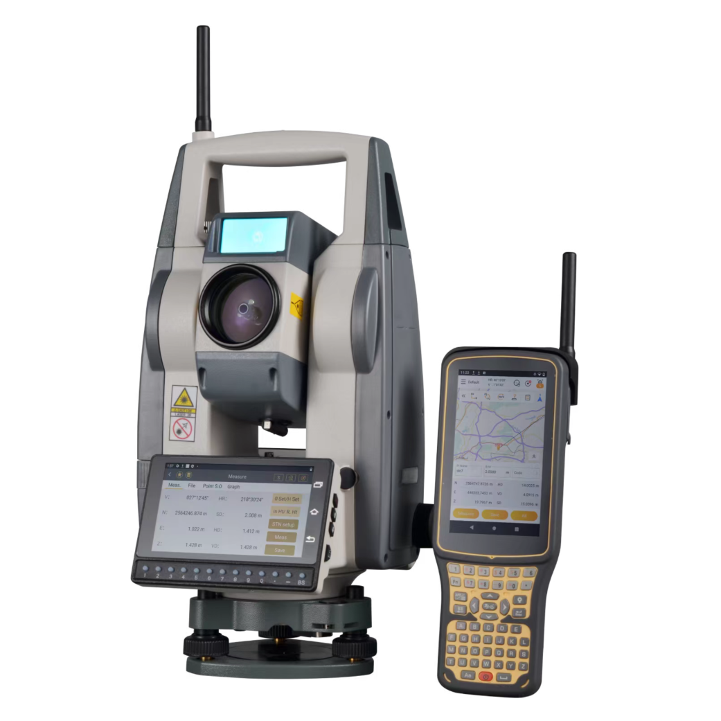
| KTS-591 Robotic Total Station | ||
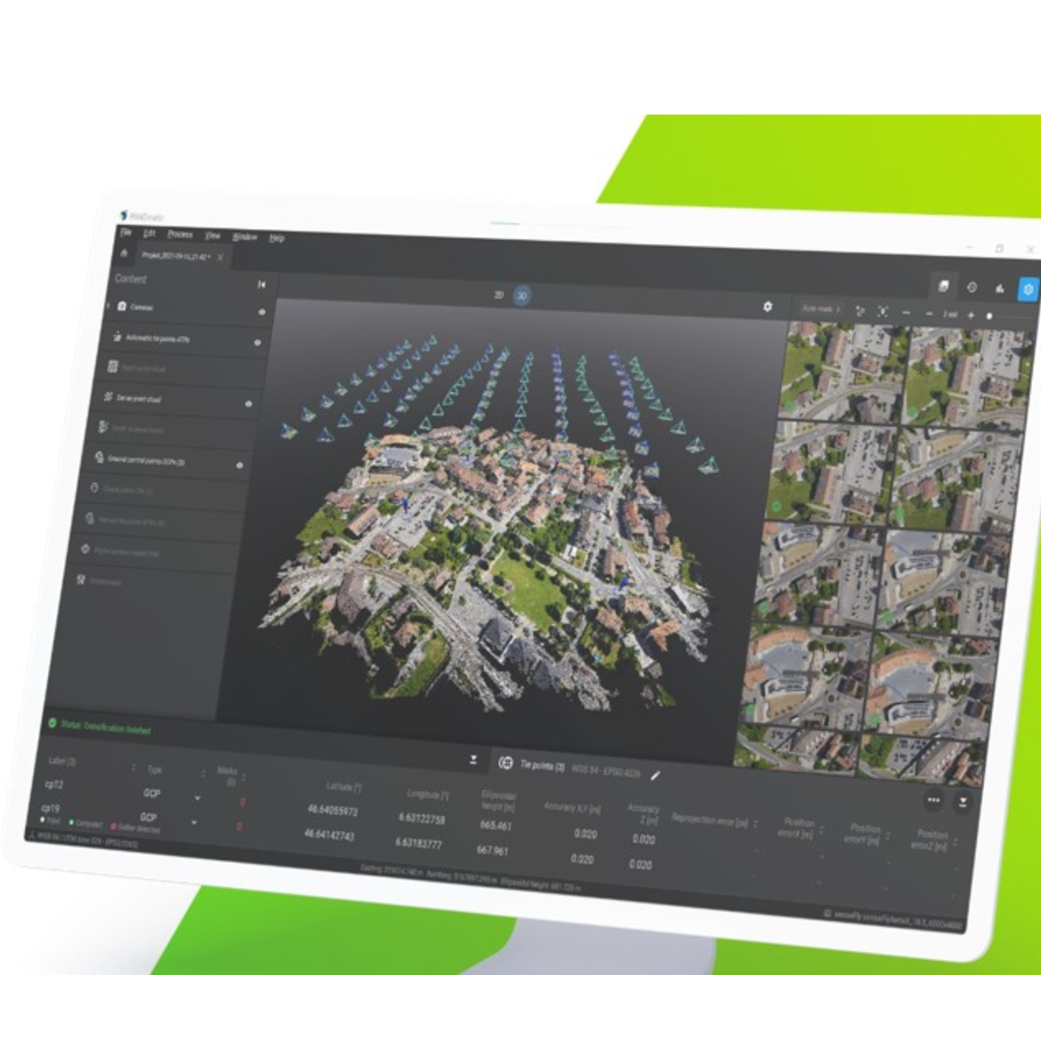
| Pix4D Matic Processing Software | ||
| TCP Point Cloud Editor Software | ||
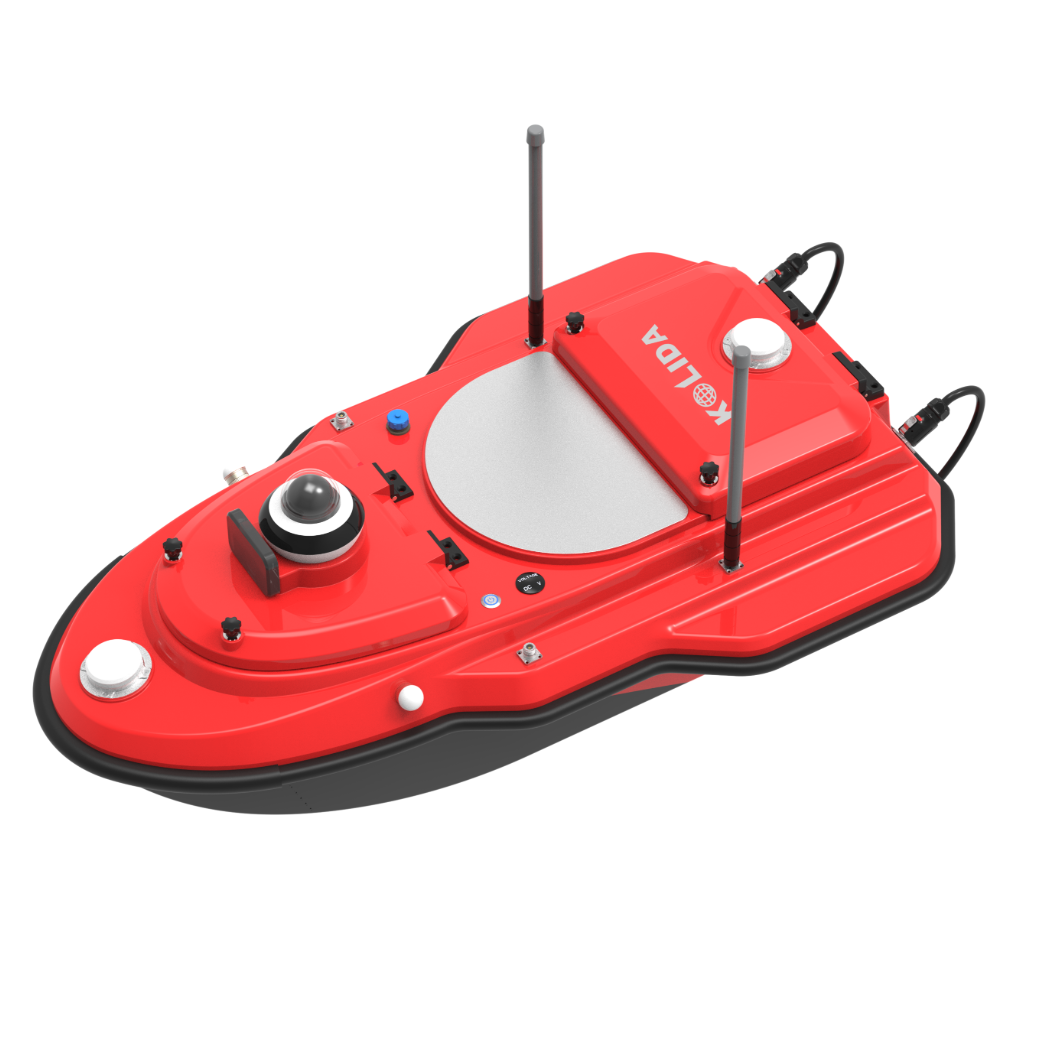
| ARGO2 Unmanned Surface Vehicle | ||
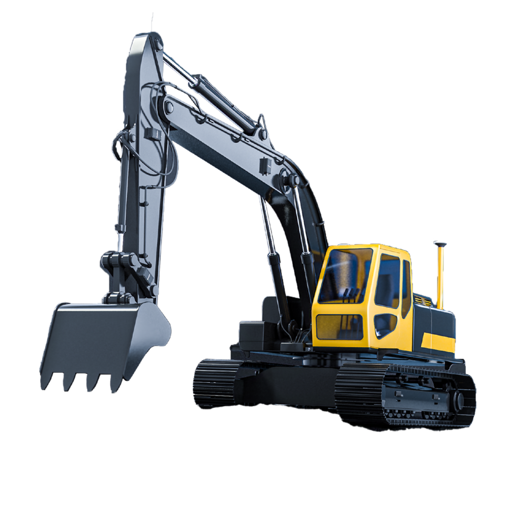
| eME30 Machine Control Excavator | ||
| eTS8 ANDROID SMART TOTAL STATION |
eHLS2 - Scanning Building
TPS Total station
USV